Forest Atlas Of The United States

Wildland Fire as a Natural Disturbance

Wildfire is a key natural disturbance process that shapes ecosystems throughout the United States. The ecological consequences of wildland fires depend on the type of fire, the type and structure of the ecosystem that burned, and the frequency of repeated fires. All these factors interact to define the fire's effects on an ecosystem and the ecosystem's response to the fire disturbance.

Wildfire is a natural disturbance that has a range of effects on biological and physical aspects of the environment. It creates conditions that temporarily favor some species and exclude others, and it is a major factor in shaping the way the Nation's forests look, especially in the Western United States.

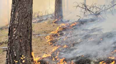
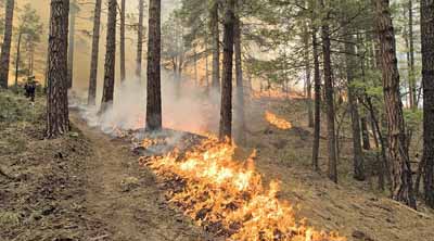
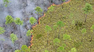
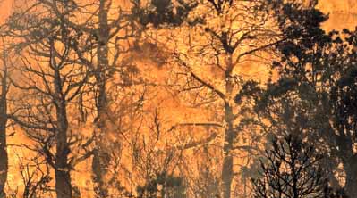
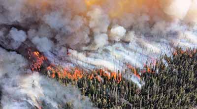
To understand the effects of a wildland fire, it is important to consider the type of fire and the type and structure of the ecosystem in which the fire took place. Fires are generally categorized as ground fires, surface fires, understory fires, or crown fires. A ground fire consumes organic material beneath the surface litter, such as in a peat fire. Surface fires burn along the ground without significant movement into the understory or overstory vegetation. Understory fires burn the small shrubs and seedlings and are more intense than surface fires. Crown fires are normally associated with an understory fire that moves into the tree crowns and spreads from top to top of trees and/or shrubs.

All these fire types occur in every region of the United States but not with the same frequency or severity. The interagency Monitoring Trends in Burn Severity (MTBS) project has used satellite imagery to map burned area boundaries and severity for all fires greater than 1,000 acres in the West and 500 acres in the East from 1984 to 2010. The project contains maps of nearly 15,000 fires. MTBS data are now helping scientists, land managers, and the public to understand national trends in fire activity and severity across the United States.

The interagency Monitoring Trends in Burn Severity (MTBS) project has used satellite imagery to map burned area boundaries and severity for all fires greater than 1,000 acres in the West and 500 acres in the East from 1984 to present (http://www.mtbs.gov). The project contains maps of nearly 20,000 fires. MTBS data are now helping scientists, land managers, and the public to understand national trends in fire activity and severity across the United States.

references description legend opacity
zoom in zoom out
map diagram photo
chart legend burn area/fire frequency chart
TOTAL BURNED AREA AND FIRE FREQUENCY INCREASES AND DECREASES IN CYCLES. Data depicting both fire frequency and burned area for the period 1984 through 2010 were produced by the Monitoring Trends in Burn Severity (MTBS) project. These data indicate high levels of interannual variability with generally increasing fire frequency and burned area through the period.
Year
Area
Fires per year
Area Burned (acres)
«
»