Forest Extent
Have you ever heard the phrase “can’t see the forest for the trees?” Across much of the United States you can see trees in all directions. Does that mean we are also seeing forests? The answer is not always yes.
Forest Atlas Of The United States
Have you ever heard the phrase “can’t see the forest for the trees?” Across much of the United States you can see trees in all directions. Does that mean we are also seeing forests? The answer is not always yes.
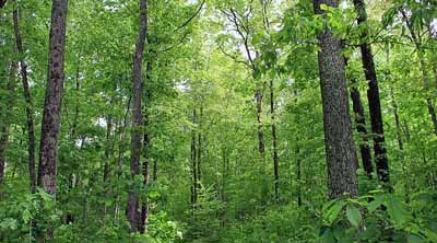
Whether you are making maps or creating tabular information about forests, the relationship between trees and forests needs to be clearly understood. Nearly every definition of forest involves three factors — tree density, land use, and patch size.
Tree density refers to the percent of the land covered by trees. Throughout the world the most frequent measure of tree density is percent canopy cover. Forest land use requires that the land either have or be capable of meeting a minimum canopy cover threshold.
Land use refers to how people interact with the land and how they intend it to be used. Forest land use requires that no activities are preventing normal tree regeneration and succession.
Patch size refers to the minimum area required to be classified as a forest. In the United States, the USDA Forest Service defines this as one acre that is at least 120 feet wide.
Using these three factors forest land is defined in the United States as land that is one acre or greater in size and has at least 10% tree cover, or formerly had such tree cover and is capable of re-growing those trees. This relationship between trees and forest land use can lead to some seemingly strange, but now understandable situations.
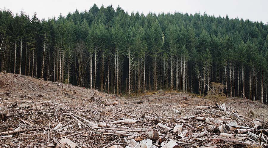
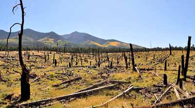
By definition, industrial forest lands are managed to supply a sustainable source of wood. Lands that are harvested today are quickly tasked with growing new trees.
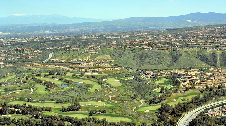
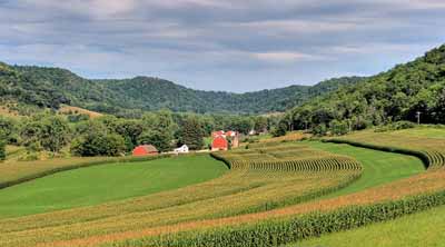
Throughout the United States, the urban and suburban landscapes have trees, but they are not called forest land. Though trees currently exist in sufficient quantity, these areas are managed for other uses, and if the existing trees died, they would not necessarily be replaced through natural processes. Pavement and manicured landscaping prohibits natural regeneration.
The two maps to the right allow you to compare and contrast percent mapped forest land use and percent tree canopy cover across the lower 48 states.
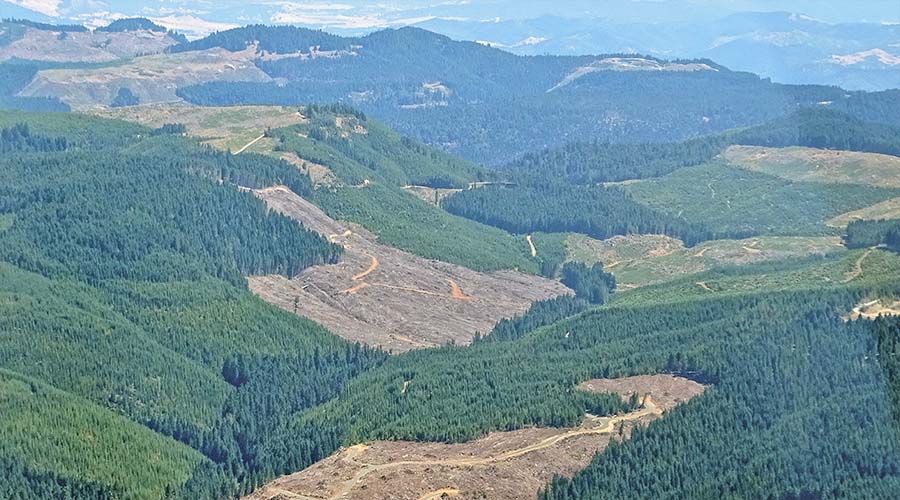
Many areas in the Pacific Northwest that are managed forest lands, but do not have trees because they have been harvested. This area in south western Oregon is one of those areas and is still forest land use.
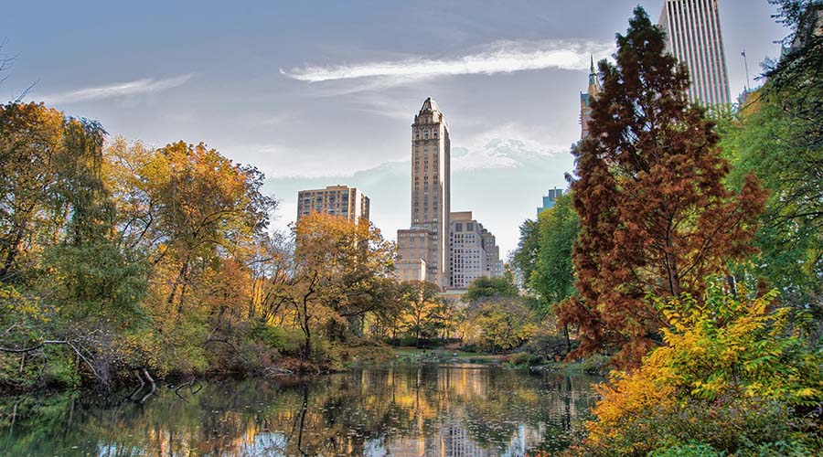
By contrast, Central Park in New York City has little forest land use, but plenty of tree cover. Find areas on the map that you know and see how well these maps help to understand the difference between tree canopy cover and forest land use.
![]() EXPLORE.
Find areas that you might know about and see how well these maps help to understand the difference between tree canopy cover and forest land use.
EXPLORE.
Find areas that you might know about and see how well these maps help to understand the difference between tree canopy cover and forest land use.


TREE CANOPY COVER AND FOREST LAND USE. Understanding the difference between treed land and forest land use is important to understanding information about forests.